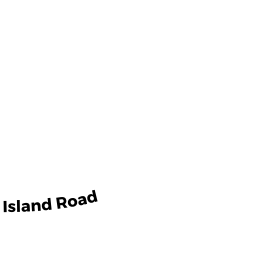
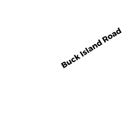
300 BUCK ISLAND RD UNIT 10A
Owner Information
MCARTHUR GAIL A
300 BUCK ISLAND RD UNIT 10A
WEST YARMOUTH, MA 02673


Property Details
300 BUCK ISLAND RD UNIT 10A is classified as a CONDO NL MDL-0 (Condominium).
The primary structure on this property was built in 1973. There are 2,091ft2 of built area within this property. There is 1,246ft2 of residential/living space within this property.
300 BUCK ISLAND RD UNIT 10A is valued at $217,500. The land is valued at $0 and the structures are valued at $217,500.
The most recent deed for 300 BUCK ISLAND RD UNIT 10A is recorded at the local registrar in Book CC1-10A, Page 0. 300 BUCK ISLAND RD UNIT 10A was last sold on Monday, March 9, 2020 for $250,750.
Assessment data from fiscal year 2022.
Flood Data
According to the FEMA National Flood Hazard Layer, this property does not appear to be in a flood zone. It may also be in an area not yet reviewed. Nonetheless, confirm this information prior to taking any action.
To view the flood hazards around this property, create a FEMA "Firmette" Map of the area around 300 BUCK ISLAND RD UNIT 10A.
Broadband Internet Providers
| Provider | Type | Bandwidth (mbps) | |
|---|---|---|---|
| Comcast | Cable | 1000 | 35 |
| Viasat Inc | Satellite | 35 | 3 |
| Verizon New England Inc. | DSL | 5 | 0 |
| VSAT Systems, LLC. | Satellite | 2 | 1 |
| HughesNet | Satellite | 25 | 3 |
| GCI Communication Corp. | Satellite | 0 | 0 |
Broadband service provider data from December 2020.
Adjacent Properties
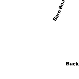
- BARNBOARD LN
CONSERVATION MO owned by TOWN OF YARMOUTH - 50 BARNBOARD LN
Single Family Residential owned by OKOLO JOANNE - 46 BARNBOARD LN
Single Family Residential owned by MURTA IARA - 54 BARNBOARD LN
Single Family Residential owned by CIAMPA ANTONIO - 36 BARNBOARD LN
Single Family Residential owned by CHIRICHETTI MAURINE A - 40 BARNBOARD LN
Single Family Residential owned by ZHIVKOV BORISLAV G - 30 BARNBOARD LN
Single Family Residential owned by PENDERGAST THOMAS P - 26 BARNBOARD LN
Single Family Residential owned by CACCAVELLI LUCIA C - BUCK ISLAND RD
Developable Residential Land owned by CHAPMAN ROBERT F - 2 BARNBOARD LN
Single Family Residential owned by JOSEPH JACKSON - 14 BARNBOARD LN
Single Family Residential owned by CANTO JARED A - 10 BARNBOARD LN
Single Family Residential owned by NARDONE MICHAEL J - 20 BARNBOARD LN
Single Family Residential owned by HIGGINS RYAN C